
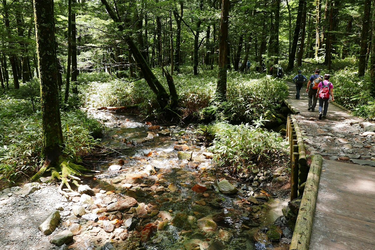
In the heart of the Chubu Sangaku National Park, Kamikochi is a hiking paradise boasting some of Japan's most breathtaking landscapes. With its towering peaks, crystal-clear rivers, and lush greenery, Kamikochi offers a variety of hiking trails suitable for all skill levels.
Whether you're a seasoned trekker aiming to conquer the surrounding mountains or a casual hiker looking to enjoy a serene day trip, hiking in Kamikochi promises an unforgettable adventure. This guide explores the best routes for every fitness level, ensuring you make the most of your visit to this stunning mountain resort in the Northern Japan Alps.
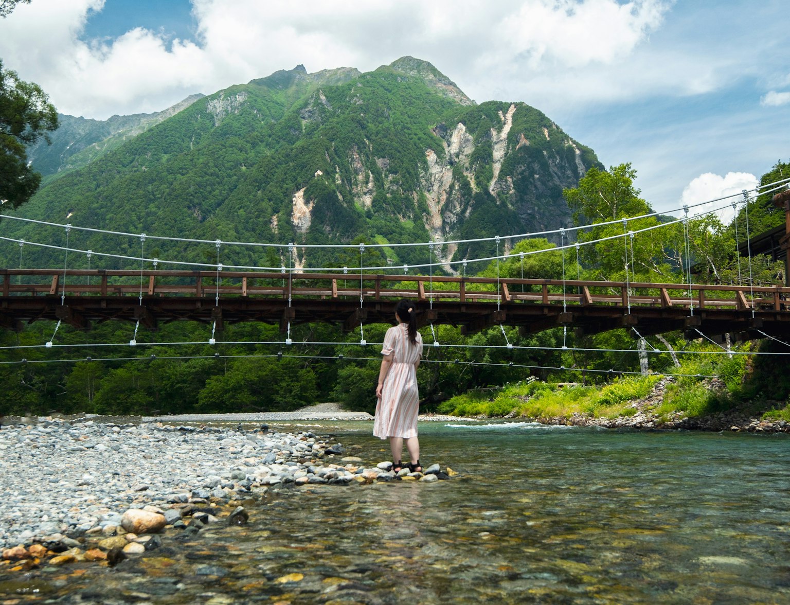
Embark on an exciting adventure in Kamikochi, one of Japan's leading mountain resorts.
Kamikochi is located in Nagano Prefecture, within the Chubu Sangaku National Park in the Northern Japan Alps. The easiest way to get there is by bus from Matsumoto City.
Since private cars are prohibited beyond a certain point to preserve the natural environment, visitors must park their vehicles and transfer to public transportation, such as the direct bus service from the Kamikochi Bus Terminal. This bus terminal is the central hub for travelers entering Kamikochi and is where many begin their hiking journeys.
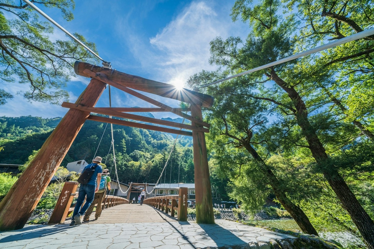
The bus stop is near some of Kamikochi's best attractions, such as the famous Kappa Bridge and the tranquil Azusa River.
If you're new to hiking or prefer a leisurely walk, the trails around Kappa Bridge, Myojin Pond, and Tashiro Pond are perfect options. These relatively flat paths meander along the serene Azusa River.
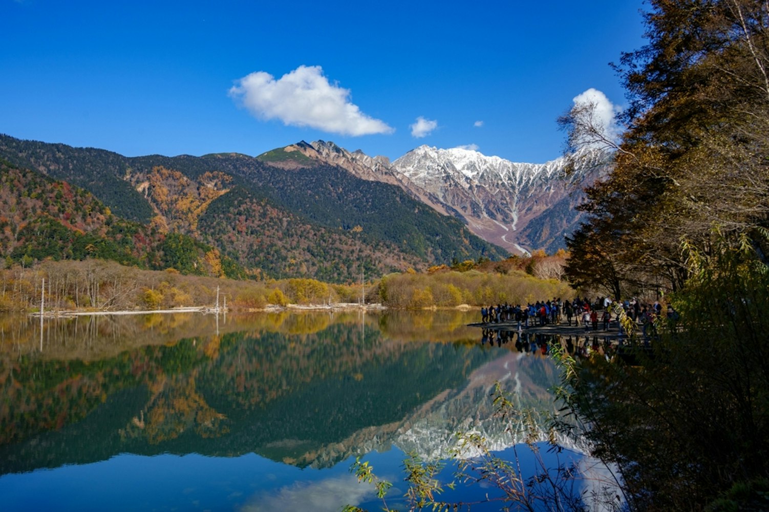
As you walk, you'll be greeted with magnificent views of the surrounding mountains and plenty of opportunities to spot local wildlife. Don't miss the Taisho Pond, formed by an eruption of the nearby active volcano, Mount Yake.
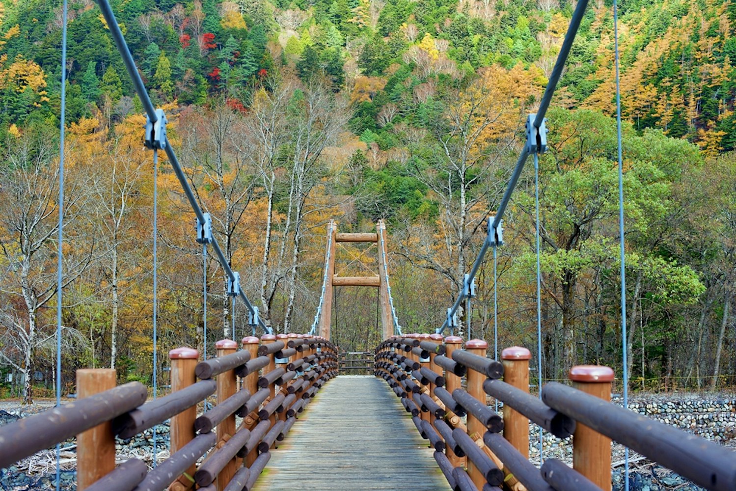
The hike to Myojin Bridge is ideal for those seeking a moderate challenge without a full-day commitment. The trail is relatively easy, with minimal elevation changes, making it perfect for hikers of all fitness levels.
Along the way, you'll pass scenic landmarks like the serene Myojin Pond, known for its crystal-clear waters and spiritual significance in Shintoism. For a more intense but rewarding option, the hike to Karasawa Cirque offers dramatic views of the Hotaka Mountain Range and colorful autumn foliage during the fall season.
However, it involves a steeper climb and longer duration.
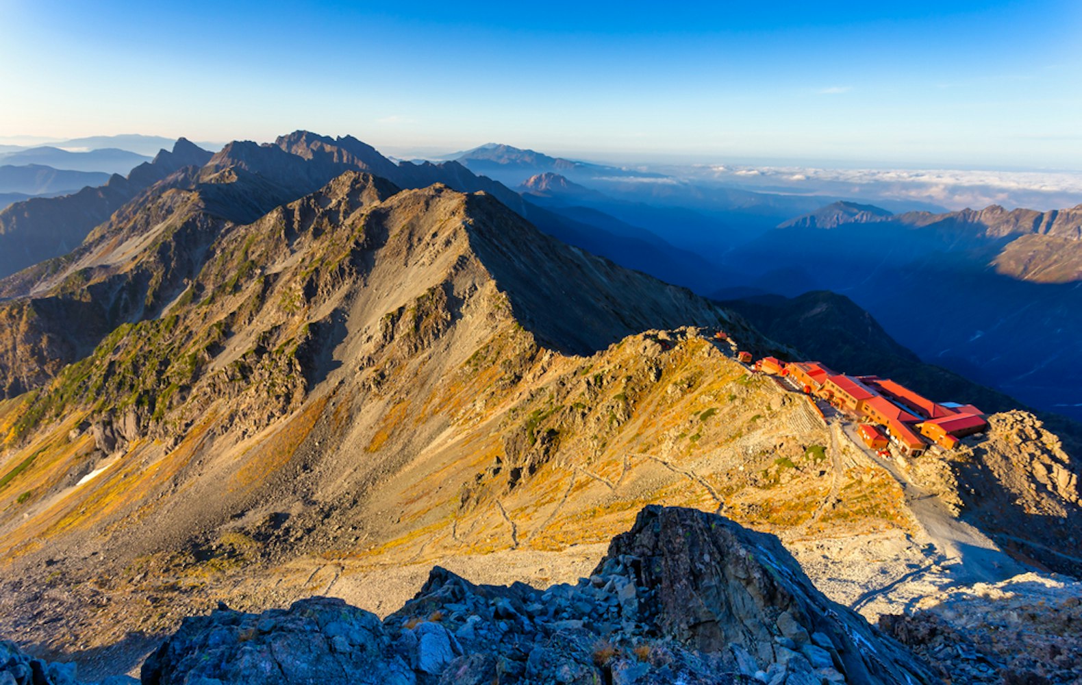
Experienced hikers or those looking to test their endurance should consider mountain climbing in Mount Yari (3,180 meters) and Mount Oku Hotaka (3,190 meters), both part of the Japan Alps. These peaks offer some of Japan's most challenging and exhilarating hikes, characterized by steep ascents and rugged terrain.
The climb to Mount Oku Hotaka, Japan's third-highest peak, is a strenuous trek that, due to its length and difficulty, often requires an overnight stay in mountain huts. Both peaks provide unparalleled views of the surrounding mountains and valleys, such as the Kamikochi Valley, making the effort well worth it for seasoned adventurers.

The best day to go hiking in Kamikochi largely depends on the season and weather conditions. Late spring to early autumn (May to October) is considered the prime time for hiking, as the trails are clear, the scenery is lush, and the weather is relatively mild.
Among these, weekdays during early summer (June) and early autumn (September) are ideal as you'll avoid the heavier tourist crowds that often peak during weekends and national holidays. To maximize your experience, check the weather forecast and opt for days with clear skies for unobstructed views of the surrounding mountains and valleys.
Starting your hike early in the morning is recommended for a more serene atmosphere and cooler temperatures. It's also important to avoid visiting during the rainy season (late June to early July), as the trails can become slippery and dangerous.

When visiting Kamikochi, you will find a variety of natural and cultural attractions that make it one of Japan's most scenic hiking destinations. The iconic Kappa Bridge offers stunning views of the surrounding peaks and the Azusa River, making it a popular spot for photographers.
You'll also encounter Taisho Pond, formed by a volcanic eruption, where the submerged trees create an ethereal landscape. For a peaceful walk, head to Tashiro Pond, surrounded by lush marshlands and delicate seasonal flowers.
Kamikochi is also a gateway to the Hotaka Mountain Range and Mount Yari, which is ideal for more adventurous hikers. Several mountain huts and campsites offer overnight stays and tranquil atmospheres.
Preparing correctly is essential before embarking on your hiking trail in Kamikochi adventure. Here are some practical tips to ensure a safe and enjoyable trekking experience:
Check the Weather Forecast: Kamikochi's weather can change rapidly, especially in the early summer or autumn foliage seasons. Check the weather forecast before you start, as rain can make the trails slippery.
Start Early: Start your hike early to avoid the cooler temperatures and potential afternoon rain showers. If you plan a long hike or visit Kamikochi's popular spots like Kappa Bridge, arriving at the Kamikochi Bus Terminal before the crowds are best.
Fitness Level Matters: When choosing a trail, consider your fitness level. While many trails around Kappa Bridge and the Azusa River are flat and well-maintained, more challenging routes to Mount Yari or Oku Hotaka require stamina and experience.
Stay Overnight at a Mountain Hut: If you're tackling a longer route, such as the ascent to Mount Oku Hotaka, staying at a mountain hut will break up the hike and give you a chance to rest. These mountain huts are scattered along the trails and provide basic accommodations for hikers, but booking in advance is recommended.
Carry Essentials: Pack sufficient water, snacks, and a weather forecast app to stay updated on conditions. Many trails have souvenir shops near the bus terminal where you can stock up on essentials before heading out.
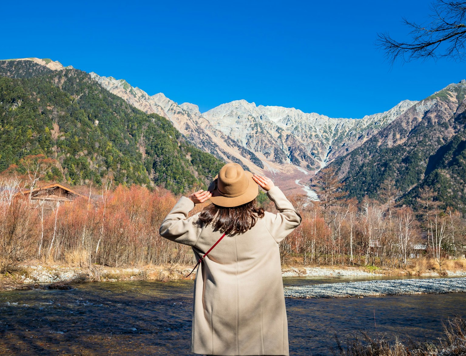
Embark on a captivating journey through Japan's Northern Alps.
Whether planning a peaceful day-round trip or an adventurous multi-day trek, hiking in Kamikochi offers something for everyone. From leisurely walks along the Azusa River to challenging climbs up the Hotaka Mountain Range, hiking Kamikochi trails provides some of Japan's most beautiful and diverse landscapes.
With its well-maintained trails, clear rivers, and stunning views of the Japan Alps, Kamikochi is a beautiful destination for hikers of all skill levels. Plan your Kamikochi itinerary wisely, and remember to check the weather forecast, pack accordingly, and start your adventure from the Kamikochi Bus Terminal.
Whether you visit in the early afternoon or set off in the early morning, Kamikochi will captivate you with its natural beauty and unforgettable trekking experience.


